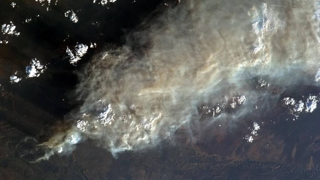
A bushfire raging in western NSW is now larger than several countries, making it one of the state’s biggest blazes in more than a decade.
Subscribe now for unlimited access.
or signup to continue reading
But the 42,000 hectare fire west of Coonabarabran has nothing on a 400,000-hectare whopper burning over the border in South Australia.
In a fortnight where fires have destroyed homes and threatened lives in Tasmania, Victoria and NSW, the sprawling SA bushfire has largely escaped public attention.
The fire’s black footprint has grown to nearly 75 times the size of Sydney Harbour and is almost twice the size of the Australian Capital Territory. It is also bigger than about 75 different countries, including Luxembourg, Samoa and Singapore.
It is so big South Australia’s Country Fire Service has been forced to keep tabs on it via satellite. While some property and crop protection has occurred since it started on January 7, the fire is in such a hot, arid, remote part of Australia it would be impossible to find enough water to fight it.
“We all look at maps of Australia but don’t really appreciate the vastness of this country until you realise this fire’s perimeter has grown from 100 kilometres to 400-odd kilometres in about one week,” said CFS regional prevention officer Nik Ludborzs.
“It’s a huge area but is also a pretty big fire.”
The fire that tore through the heritage-listed Warrumbungle National Park, near the NSW town of Coonabarabran, this week claimed about 42,000 hectares – about the size of the Caribbean island nation of Barbados. If the fire’s footprint was placed over Sydney, it would easily cover all the city’s eastern, southern and inner-western suburbs. Or put another way, the fire ground is equivalent in size to about 21,000 Melbourne Cricket Grounds.
It is one of the largest fires to strike the state since the devastating Black Christmas bushfires of 2001 and 2002.
A spokesman for the Bushfire Cooperative Research Centre said fires in remote areas displayed very different characteristics to those threatening urban areas.
“The amount of fuel in (remote) environments is generally limited and the weather conditions… are generally stable,” he said. “Maximum fire intensities in these situations rarely exceed 20,000 kilowatts per metre. (But) during bushfires in the mountain forests of southern Australia, maximum intensities can reach up to 100,000 kilowatts per metre.”
The spokesman said the 2009 Black Saturday fires in Victoria burnt 430,000 hectares of land and caused the deaths of 173 people and destruction of more than 2000 homes.
Two fires in Victoria’s remote mountain country in 2006-07 and 2002-2003 burnt over one million hectares and took about two months to contain but resulted in no loss of life and little building damage.
Mr Ludborzs said the SA fire was burning to the north of the state, near the NSW border, in grass and low scrub. An assessment by the CFS and NSW Rural Fire Service was that its intensity and spread was diminishing, he said.
A series of fires in Tasmania this year have blackened about 100,000 hectares of land, while grassfires in Victoria have blackened about 14,000 hectares.
In NSW, a fire south of Nowra ripped through 9000 hectares of land, one near Yass burnt 14,000 hectares and about 12,000 hectares was razed near Cooma.


